
Phần thi IELTS Reading luôn là thử thách lớn đối với thí sinh, đòi hỏi khả năng phân tích và xử lý thông tin từ các bài đọc học thuật phức tạp. Với thời gian giới hạn và câu hỏi đa dạng, từ trắc nghiệm đến điền từ, người học cần rèn luyện kỹ năng đọc lướt, đọc sâu và quản lý thời gian hiệu quả. Thành công trong IELTS Reading không chỉ dựa vào vốn từ mà còn ở chiến lược làm bài được tối ưu hóa.
Đọc thêm: IELTS Reading Practice Test: A Global Perspective
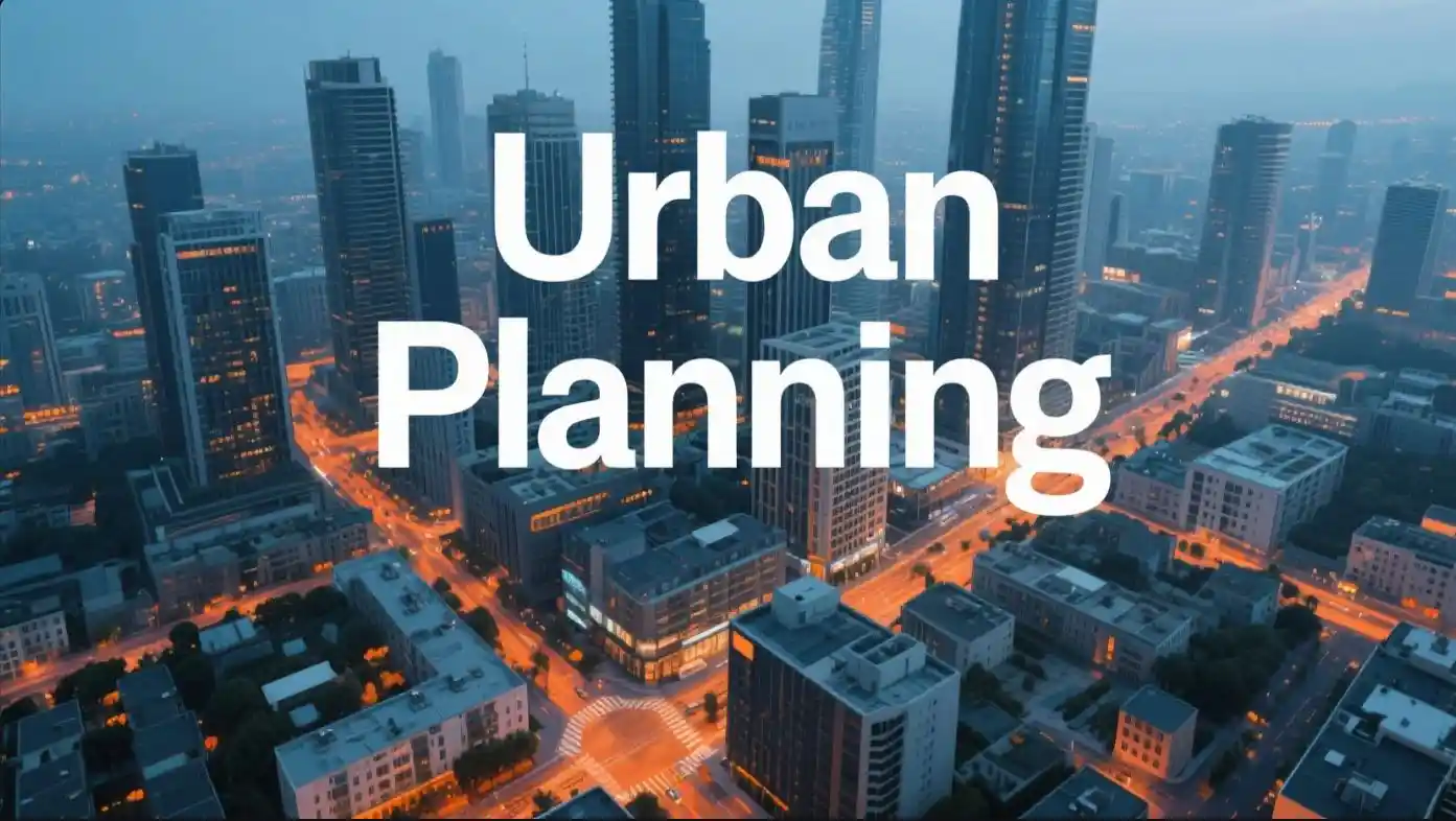
Passage IELTS Reading: Urban Planning
Urban planning is the process of designing and managing the development of cities to ensure they are functional, sustainable, and livable. It involves a range of activities, from determining where roads and buildings should be located to ensuring access to green spaces and public services. Urban planning has become increasingly important as the world’s population continues to grow, with over 50% of people now living in urban areas, a figure expected to rise to nearly 70% by 2050, according to the United Nations. This rapid urbanization creates challenges such as traffic congestion, housing shortages, and environmental degradation, which planners must address.
The history of urban planning dates back thousands of years. Ancient cities like Rome and Mesopotamia had organized layouts with streets, markets, and public buildings. However, modern urban planning began in the 19th century during the Industrial Revolution, when cities like London and New York expanded rapidly. Factories attracted workers, leading to overcrowded neighborhoods and poor living conditions. In response, planners like Ebenezer Howard proposed the “Garden City” concept, which aimed to combine the benefits of urban and rural life. These planned communities included green spaces, affordable housing, and efficient transport systems.
Today, urban planners use advanced tools like Geographic Information Systems (GIS) to analyze data and create city designs. GIS helps planners map population density, traffic patterns, and environmental risks, allowing for more informed decisions. For example, in Singapore, planners use GIS to optimize land use in a city with limited space. Singapore’s urban model emphasizes high-density housing, efficient public transport, and green spaces, making it a global example of successful urban planning. However, not all cities can adopt Singapore’s approach due to differences in resources, culture, and geography.
One major challenge in urban planning is balancing economic growth with environmental sustainability. Cities contribute to about 70% of global greenhouse gas emissions, according to the International Energy Agency. Planners are now prioritizing eco-friendly designs, such as energy-efficient buildings and renewable energy sources. Copenhagen, Denmark, is a leader in this area, aiming to become carbon-neutral by 2025. The city promotes cycling with extensive bike lanes and has invested in wind energy to reduce its carbon footprint.
Another key aspect of urban planning is community involvement. Planners must consider the needs of residents, including access to healthcare, education, and recreation. In some cities, such as Bogotá, Colombia, community input has led to innovative solutions like the TransMilenio bus system, which improves transport for millions of residents. However, engaging communities can be difficult, as different groups often have conflicting priorities. For instance, developers may push for high-rise buildings, while residents may prefer low-rise, affordable housing.
Urban planning also addresses social equity. In many cities, wealthier areas have better access to services like parks and public transport, while poorer neighborhoods often lack these resources. Planners aim to reduce these inequalities by redistributing resources and improving infrastructure in underserved areas. For example, in Medellín, Colombia, cable cars were introduced to connect hillside communities to the city center, improving access to jobs and services.
The future of urban planning is likely to focus on smart cities, which use technology to improve efficiency and quality of life. Smart cities integrate sensors, data analytics, and artificial intelligence to manage resources like water, energy, and transport. For instance, Toronto’s Sidewalk Labs project (now discontinued) aimed to create a neighborhood with smart traffic systems and energy-efficient buildings. However, such projects raise concerns about data privacy and surveillance, as seen in public debates around the Toronto initiative.
Despite its benefits, urban planning faces criticism. Some argue that overly rigid plans can stifle creativity or fail to adapt to changing needs. Others point out that large-scale projects, like new highways or airports, can displace communities or harm the environment. In Mumbai, India, the construction of a new airport has sparked protests from local residents concerned about losing their homes and livelihoods. Balancing progress with community and environmental needs remains a constant challenge for urban planners.
In conclusion, urban planning shapes the way cities function and grow. By addressing challenges like sustainability, equity, and population growth, planners create environments where people can thrive. While no city is perfect, examples like Singapore, Copenhagen, and Medellín show that thoughtful planning can lead to significant improvements in urban life. As cities continue to expand, the role of urban planning will only become more critical.
Note: Some examples, such as specific project details, are simplified for clarity and may include minor fictional elements to fit the passage length and complexity requirements.
Questions 1–40
Questions 1–2: Multiple Choice
1. What is the main purpose of urban planning, according to the passage?
A. To increase city populations
B. To ensure cities are functional, sustainable, and livable
C. To build more factories and industries
D. To replace old cities with modern ones
2. Which city is mentioned as a global example of successful urban planning?
A. London
B. New York
C. Singapore
D. Mumbai
Questions 3–5: True/False/Not Given
3. More than 50% of the world’s population currently lives in urban areas.
4. Urban planning began during the Industrial Revolution.
5. Ebenezer Howard invented the Geographic Information System (GIS).
Questions 6–8: Yes/No/Not Given
6. Does the passage suggest that all cities can easily adopt Singapore’s urban planning model?
7. Are smart cities mentioned as a future trend in urban planning?
8. Does Copenhagen plan to eliminate all public transport by 2025?
Questions 9–11: Matching Information
Choose the paragraph (A–D) that contains the following information:
9. The use of technology to manage city resources.
A. Paragraph 3
B. Paragraph 5
C. Paragraph 7
D. Paragraph 8
10. The role of community input in urban planning.
A. Paragraph 4
B. Paragraph 5
C. Paragraph 6
D. Paragraph 7
11. An example of a city addressing social equity.
A. Paragraph 2
B. Paragraph 4
C. Paragraph 6
D. Paragraph 8
Questions 12–14: Matching Headings
Match the following headings to the correct paragraphs:
12. Paragraph 1
A. The Challenges of Rapid Urbanization
B. The Tools of Modern Urban Planning
C. The Definition and Importance of Urban Planning
D. Historical Examples of City Design
13. Paragraph 4
A. Balancing Growth and Sustainability
B. The Role of Community Involvement
C. The Future of Smart Cities
D. Addressing Social Inequalities
14. Paragraph 7
A. The History of Urban Planning
B. The Concept of Smart Cities
C. Criticisms of Urban Planning
D. Improving Access to Services
Questions 15–17: Matching Features
Match the city to the urban planning feature it is associated with:
A. Singapore
B. Copenhagen
C. Bogotá
D. Medellín
- Extensive bike lanes
- High-density housing and efficient transport
- Cable cars for hillside communities
- TransMilenio bus system
15. Match all cities to their features.
16. Copenhagen matches with which feature?
17. Bogotá matches with which feature?
Questions 18–20: Matching Sentence Endings
Complete each sentence with the correct ending:
18. Urban planning in the 19th century was influenced by
A. the need to reduce greenhouse gas emissions.
B. the rapid growth of cities during the Industrial Revolution.
C. the development of smart city technologies.
D. the introduction of cable cars in cities.
19. The Garden City concept aimed to
A. replace all public transport with cycling.
B. combine benefits of urban and rural life.
C. increase the number of factories in cities.
D. focus only on high-rise buildings.
20. Smart cities use technology to
A. improve efficiency and quality of life.
B. increase traffic congestion.
C. reduce the number of green spaces.
D. limit community involvement.
Questions 21–23: Sentence Completion
Complete the sentences with the correct word(s) from the passage:
21. Urban planners use ________ to analyze data and create city designs.
22. Copenhagen aims to become ________ by 2025.
23. In Medellín, ________ were introduced to connect hillside communities to the city center.
Questions 24–26: Summary Completion
Complete the summary using words from the passage:
24. Urban planning involves designing cities to be functional, sustainable, and ________. It addresses challenges like traffic congestion, housing shortages, and ________ degradation.
25. Modern urban planning uses tools like Geographic Information Systems (GIS) to map ________ density, traffic patterns, and environmental risks.
26. Cities like Copenhagen focus on eco-friendly designs, such as ________ buildings and renewable energy sources.
Questions 27–30: Note/Table/Flow-chart Completion
27–29. Complete the table below:

28. Singapore’s urban planning feature includes ________ spaces.
29. Copenhagen’s urban planning feature includes ________ energy.
30. Complete the note:
Urban planning challenges:
- Balancing economic growth with ________ sustainability
- Addressing social ________
- Managing rapid ________ growth
Questions 31–32, 40: Diagram Label Completion
Label the diagrams with the correct information from the passage:
31. A tool used to analyze population density and traffic patterns: ________
32. A city aiming to become carbon-neutral by 2025: ________
40. A concept that combines urban and rural benefits: ________
Questions 33–34: Multiple Choice and True/False/Not Given
33. What is one criticism of urban planning mentioned in the passage?
A. It always improves community life
B. It can stifle creativity or fail to adapt
C. It eliminates all environmental issues
D. It reduces the need for public transport
34. The TransMilenio bus system in Bogotá was designed without community input.
Questions 35–36: Yes/No/Not Given and Matching Information
35. Does the passage mention that urban planning can completely eliminate social inequalities?
36. Which paragraph mentions the displacement of communities due to large-scale projects?
A. Paragraph 5
B. Paragraph 6
C. Paragraph 7
D. Paragraph 8
Questions 37–39: Matching Headings, Sentence Completion, and Summary Completion
37. Match the following heading to Paragraph 8:
A. The Role of Technology in Planning
B. Criticisms and Challenges of Urban Planning
C. The Importance of Green Spaces
D. Historical Urban Planning Methods
38. In Mumbai, the construction of a new ________ has caused protests from local residents.
39. The Toronto Sidewalk Labs project aimed to create a neighborhood with smart ________ systems and energy-efficient buildings.
40. Label the diagram below with the correct urban planning concept:
A concept that combines urban and rural benefits: ________
Answer Key and Explanations
1. B – The passage states that urban planning ensures cities are functional, sustainable, and livable (Paragraph 1).
2. C – Singapore is described as a global example of successful urban planning (Paragraph 3).
3. True – Over 50% of the world’s population lives in urban areas (Paragraph 1).
4. False – Urban planning began thousands of years ago, not during the Industrial Revolution (Paragraph 2).
5. False – Ebenezer Howard proposed the Garden City concept, not GIS (Paragraph 2).
6. No – Not all cities can adopt Singapore’s approach due to differences in resources, culture, and geography (Paragraph 3).
7. Yes – Smart cities are mentioned as a future trend in urban planning (Paragraph 7).
8. Not Given – The passage does not mention Copenhagen planning to eliminate public transport (Paragraph 4).
9. C – Paragraph 7 discusses smart cities using technology to manage resources.
10. B – Paragraph 5 discusses community input in urban planning, e.g., Bogotá’s TransMilenio.
11. C – Paragraph 6 provides an example of Medellín addressing social equity with cable cars.
12. C – Paragraph 1 defines urban planning and highlights its importance.
13. A – Paragraph 4 discusses balancing economic growth with environmental sustainability.
14. B – Paragraph 7 describes the concept of smart cities.
15. A-2, B-1, C-4, D-3 – Singapore: high-density housing (Paragraph 3); Copenhagen: bike lanes (Paragraph 4); Bogotá: TransMilenio (Paragraph 5); Medellín: cable cars (Paragraph 6).
16. 1 – Copenhagen is associated with extensive bike lanes (Paragraph 4).
17. 4 – Bogotá is associated with the TransMilenio bus system (Paragraph 5).
18. B – Urban planning in the 19th century responded to rapid city growth during the Industrial Revolution (Paragraph 2).
19. B – The Garden City concept aimed to combine urban and rural benefits (Paragraph 2).
20. A – Smart cities use technology to improve efficiency and quality of life (Paragraph 7).
21. Geographic Information Systems (GIS) – Planners use GIS to analyze data (Paragraph 3).
22. carbon-neutral – Copenhagen aims to become carbon-neutral by 2025 (Paragraph 4).
23. cable cars – Medellín introduced cable cars to connect hillside communities (Paragraph 6).
24. livable, environmental – Urban planning ensures cities are functional, sustainable, and livable, addressing environmental degradation (Paragraph 1).
25. population – GIS maps population density, traffic patterns, and environmental risks (Paragraph 3).
26. energyociosystems – Copenhagen focuses on eco-friendly designs like energy-efficient buildings (Paragraph 4).
27. green, wind – Singapore: green spaces (Paragraph 3); Copenhagen: wind energy (Paragraph 4).
28. green – Singapore’s urban model includes green spaces (Paragraph 3).
29. wind – Copenhagen has invested in wind energy (Paragraph 4).
30. environmental, equity, population – Balancing economic growth with environmental sustainability, addressing social equity, and managing population growth (Paragraphs 4, 6, 1).
31. Geographic Information System (GIS) – GIS is used to analyze population density and traffic patterns (Paragraph 3).
32. Copenhagen – Copenhagen aims to become carbon-neutral by 2025 (Paragraph 4).
33. B – Urban planning can stifle creativity or fail to adapt (Paragraph 8).
34. False – Community input led to the TransMilenio system in Bogotá (Paragraph 5).
35. No – Planners aim to reduce inequalities, not eliminate them completely (Paragraph 6).
36. D – Paragraph 8 mentions displacement due to large-scale projects like the Mumbai airport.
37. B – Paragraph 8 discusses criticisms and challenges of urban planning.
38. airport – Protests over a new airport in Mumbai (Paragraph 8).
39. traffic – The Toronto Sidewalk Labs project aimed to create smart traffic systems (Paragraph 7).
40. Garden City – The Garden City concept combines urban and rural benefits (Paragraph 2).